↓ Skip to Main Content

Mapping Fraktur

Main Navigation

  • Home
  • Fraktur Background
  • About This Project
  • Maps
    • Creation Location
    • Number of Fraktur By County
    • Fraktur Over Time
    • Rites of Passage
    • Lanugage

Mapping Fraktur

Off Canvas Menu

  • Home
  • Fraktur Background
  • About This Project
  • Maps
    • Creation Location
    • Number of Fraktur By County
    • Fraktur Over Time
    • Rites of Passage
    • Lanugage

Mapping Fraktur

Pennsylvania and Beyond...

Starting in the 1700s, German immigrants to America, later called the Pennsylvania Dutch, created illuminated manuscripts that came to be know as Fraktur. This project seeks to map the locations where Fraktur were created in order to give a better geographical sense of of the data and to explore the connections between the types of documents and the locations where they were created.
View Maps

Fraktur5

This project was produced as part of the coursework for George Mason University's Digital Humanities Graduate Certificate.
Top Image: Fraktur Songbook by Maria Grossin. Jordan Historical Museum. Jordan, Ontario. 1804. Public Domain.
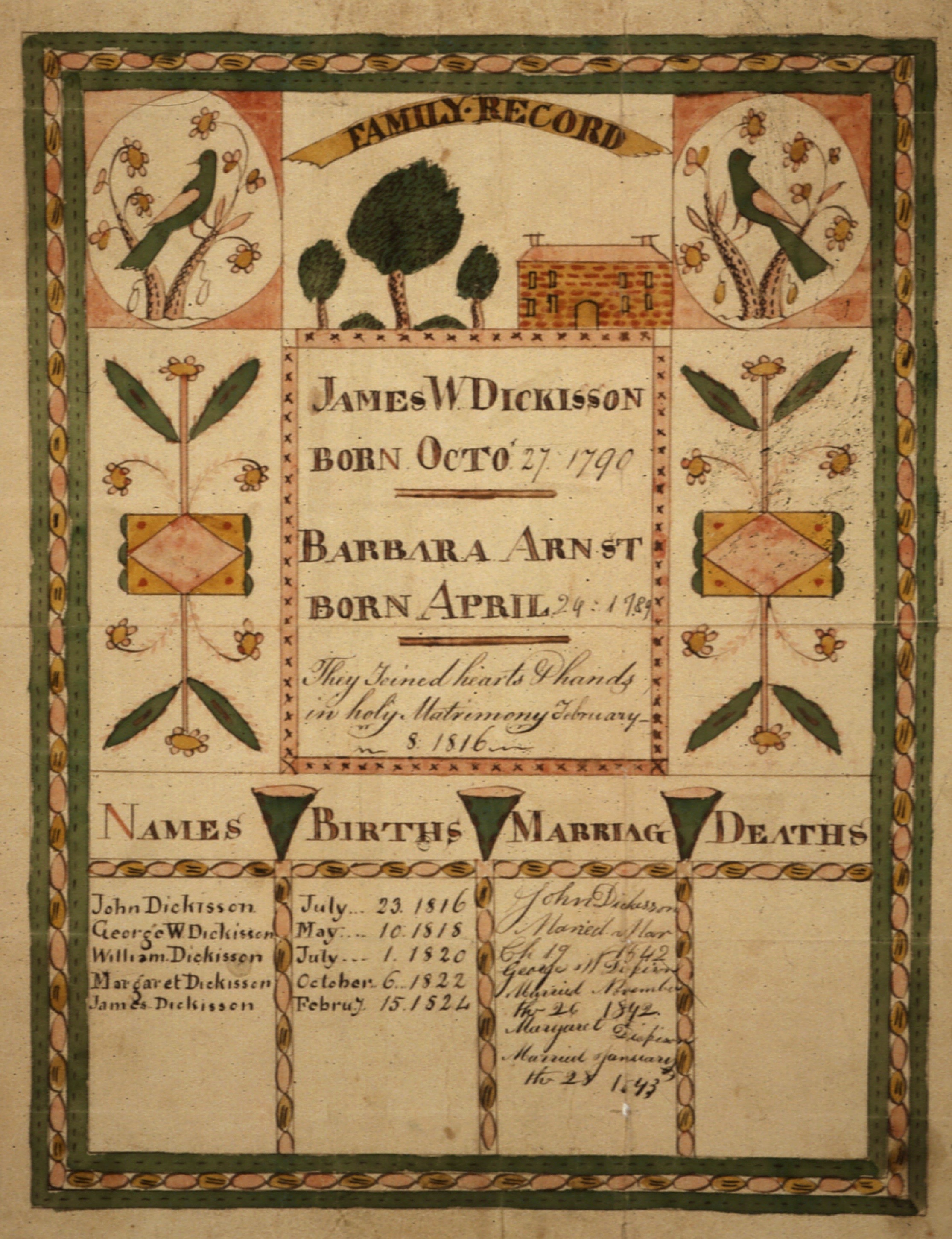
Side Image: Fraktur of the Family of Isaac Dickisson. National Archives and Records Administration. Washington, DC. 1810 - 1815. Public Domain.
Copyright © 2026 Mapping Fraktur | Powered by Responsive Theme
css.php