Current Research in Digital History
Roy Rosenzweig Center for History and New Media
Current Research in Digital History is an open-access, peer-reviewed publication. Its primary aim is to encourage and publish scholarship in digital history that offers discipline-specific arguments and interpretations, rather than simply showcase digital projects. By featuring short essays, it also seeks to provide an opportunity to make arguments on the basis of ongoing research in larger projects.
Current Research in Digital History website | GitHub repository
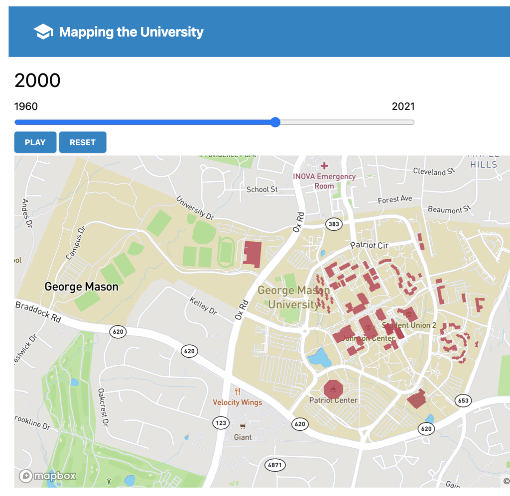
Mapping the University
Roy Rosenzweig Center for History and New Media, Old Dominion University
Supported by a 4-VA grant, Mapping the University looks at the campus histories of two public research universities in Virginia, George Mason and Old Dominion. Through maps and essays, this project explores how the built environment of these campuses reveal broader social and cultural issues.
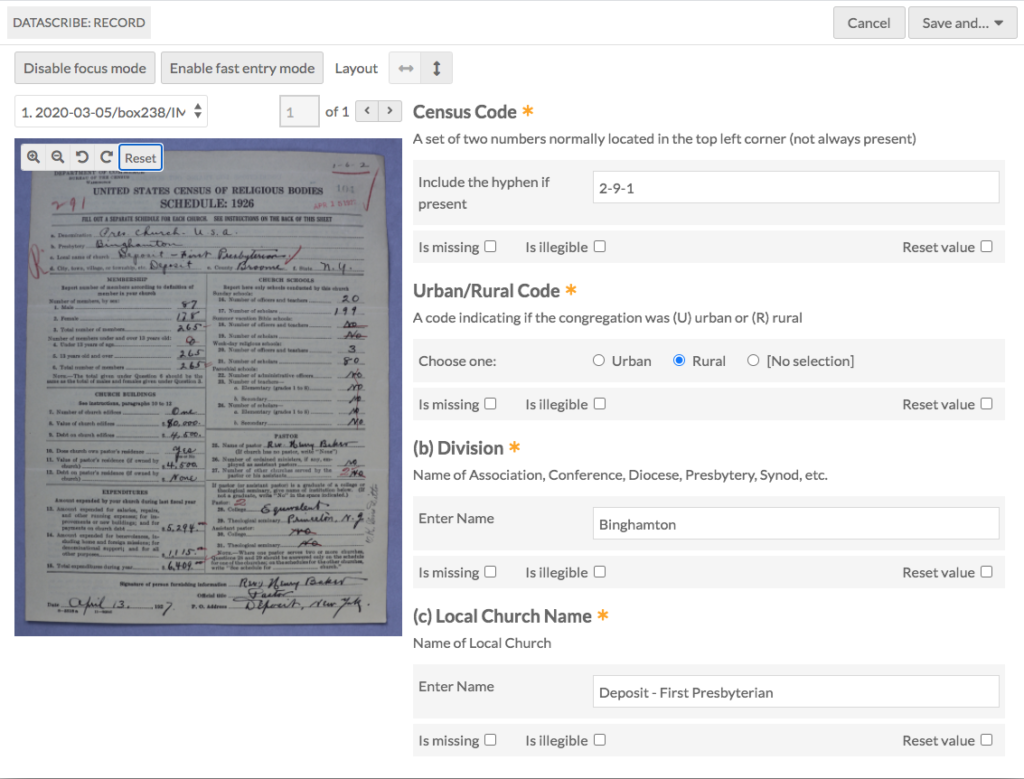
DataScribe
Roy Rosenzweig Center for History and New Media
DataScribe is a structured data transcription module for the Omeka S platform; it enables scholars and project teams to reliably transcribe and standardize structured data in a form amenable to visualization and computational analysis.
DataScribe is a structured data transcription module for the Omeka S platform; it enables scholars and project teams to reliably transcribe and standardize structured data in a form amenable to visualization and computational analysis.
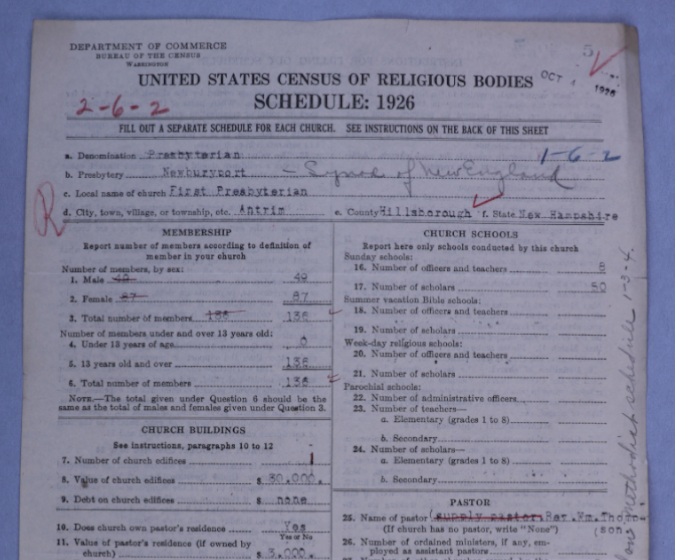
American Religious Ecologies
Roy Rosenzweig Center for History and New Media
American Religious Ecologies is a collaborative project at RRCHNM that is creating new datasets, maps and visualizations for the history of American religion. We are currently digitizing the 1926 U.S. Census of Religious Bodies, which has individual schedules for approximately 232,000 congregations. We are also investigating denominational records and other sources of data.
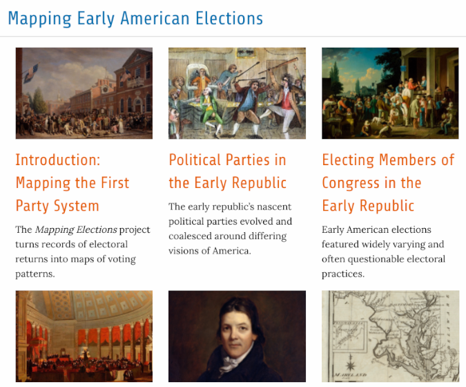
Mapping Early American Elections
Roy Rosenzweig Center for History and New Media
Mapping Early American Elections is a collaborative project with a team at RRCHNM. The project offers a window into the formative era of American politics by producing interactive maps and visualizations of Congressional elections from 1787 to 1825. The project makes available the electoral returns and spatial data underlying those maps, along with topical essays on the political history of the period and tutorials to encourage users to use the datasets to create their own maps.
Mapping Early American Elections website | GitHub repository
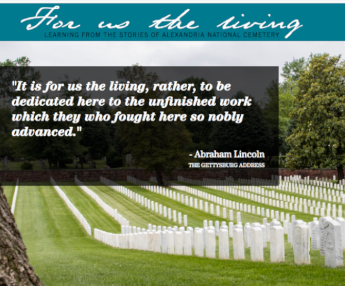
For Us The Living
Roy Rosenzweig Center for History and New Media, National Cemetery Administration, Alexandria City Public Schools
For Us The Living is a series of five interactive modules that encourage high school students to explore American history through the stories found in Alexandria National Cemetery. Through the modules, students learn historical and critical thinking skills as well as content — the “how” of history in addition to the “what.” Each module invites students to analyze primary and secondary sources, including photographs, maps, legislation, diaries, letters, and video interviews with scholars. This project was developed by the Roy Rosenzweig Center for History and New Media (RRCHNM) for the National Cemetery Administration’s Veterans Legacy Program, in partnership with the Alexandria City Public Schools.
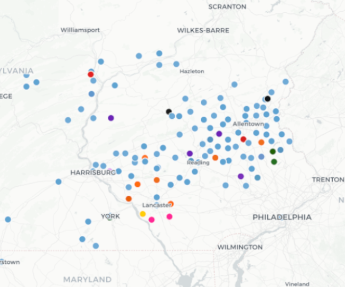
Mapping Fraktur
Starting in the 1700s, German immigrants to America, later called the Pennsylvania Dutch, created illuminated manuscripts that came to be know as Fraktur. This project seeks to map the locations where Fraktur were created in order to give a better geographical sense of of the data and to explore the connections between the types of documents and the locations where they were created.
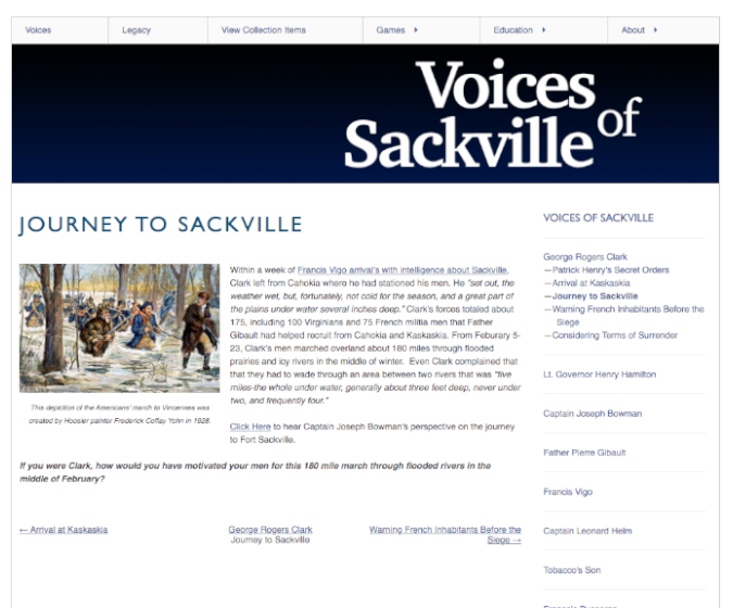
Voices of Sackville
Voices of Sackville re-examines the traditional heroes and villains of the 1779 Siege of Fort Sackville through the diverse perspectives of individuals involved in the event. Located in present-day Vincennes, Indiana, Fort Sackville was a British-controlled fort that was captured by George Rogers Clark’s American forces during the American Revolutionary War. The project also includes online learning modules that help elementary and middle school students develop historical thinking skills, and explore early American history through primary and secondary source analysis.